December 1st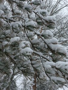
The 335th Day of the Year
The trumpet of a prophecy! O Wind,
If Winter comes, can Spring be far behind?
Percy Bysshe Shelly
Sunrise/set: 7:37/5:11
Day’s Length: 9 hours 34 minutes
Average High/Low: 44/29
Average Temperature: 36
Record High: 67 – 1970
Record Low: 4 – 1964
The Daily Weather
Chances of a mild or warm day improve by 40 percent over yesterday’s chances, making this the December day most likely to bring temperatures above 50 degrees (there is a 45 percent chance of that). Highs are in the 40s fifteen percent of the time, in the 30s twenty percent, in the 20s twenty percent. The sun shines seven years out of ten. Rain falls an average of one year in five. Snow comes once in a decade. Early Winter, a pivotal time of decisive cold, is likely to arrive within the next few days, no later than the 8th. The major snow season begins in the Lower Midwest on December 1, typically lasting thirteen to fourteen weeks, ending in the middle of March.
The Week Ahead
Average highs fall three degrees into the lower 40s this week, and typical lows decline to the middle 20s. The first December cold front usually arrives between the 1st and the 3rd, bringing a 40 percent chance of rain or snow on the 2nd and 3rd. The 4th and 5th are dry two years in three; the 6th, however, usually anticipates the second high pressure system of the month and is wet half the days in my record. Afternoon highs do reach the 60s this week of the year, but only five percent of the time. Odds are far better for chilly afternoons in the 30s and 40s and lows well below freezing. December 1st is usually the brightest day of the week, with a 60 percent chance of sun; on the other days of this period, odds are better than 50/50 for clouds.
The December Outlook
Average high temperatures fall from the middle 40s on the first of the month down to the middle 30s on the 31st. Typical lows move from the upper 20s to the lower 20s. Most Decembers bring one or two days above 60, and four days in the 50s, those temperatures frequently recorded before the arrival of Early Winter (around December 8th). The remaining afternoons reach into the 40s an average of seven times, into the 30s thirteen times, finding the 20s three times, and stay in the teens or lower on three occasions.
A morning or two below zero is experienced three years in ten. The period most likely to produce such lows is December 18th through the 26th. The coldest December days, those with better than a 35 percent chance of temperatures in the 20s or below, are the 17th, 18th, 19th, 25th, and 26th. The warmest days, those with a 25 percent or better chance of producing highs in the 60s or 50s, are the 1st, 2nd, 3rd, 7th, 10th, 12th, and 29th.
Skies are completely cloudy on about 12 December days. They are partly cloudy on 15 days, completely cloudless on only four. The average amount of sunshine available this month is 37 percent, the lowest average of the Yellow Springs and Midwestern year.
The darkest December days, those with better than a 60 percent chance of totally overcast conditions, are the 2nd, 3rd, 5th, 6th, 7th, 8th, 11th, 15th, 18th, 19th, 21st, 23rd, 26th, 27th, 28th, 29th, and 31st. The sunniest days, those with more than a 60 percent chance of at least partly cloudy conditions, are the 9th, 14th, 22nd, and the 25th.
A typical December in Yellow Springs brings a little more than two and a half inches of precipitation – included in which are an average of five and a half inches of snow (one inch of snow equals approximately .05 of an inch of water).
The wettest days of the twelfth month, those with more than a 40 percent chance of precipitation, are the 6th, 8th, 10th, 15th, 17th, 19th, 20th, 21st, 22nd, 24th, 30th, and 31st. Rainy days usually outnumber snowy days by about two to one. The days with the least precipitation (just a 20 percent chance): the 1st, 4th, 11th, 16th, and 26th.
Autumncount and Wintercount
The final front of Late Fall typically arrives around December 3rd. After that, the chances of chillier weather increase, and winter arrives on the 8th with the first of its 16 major cold fronts.
December 3: The warmest days of December often take place just before the arrival of this front. As the weather system approaches, rain or snow occurs about one year out of two. Once the December 3rd cold wave comes through, however, dry weather is the rule for the next two days. Now average temperatures are falling at the rate of one degree every two days in most states, and lows almost always fall below freezing above the Mason-Dixon line. By the 6th, the wind shifts to the south and the skies darken in anticipation of the first major high of Early Winter.
December 8: This wave of high pressure is typically the first severe system of Early Winter, and a secondary front often reinforces the chill between the 11th and the 13th. Completely overcast skies dominate more than half the days, and precipitation should be expected as the cold waves approach. The days immediately following the front are typically sunny, and the 10th and 12th often bring warmer conditions. Severe weather with below-zero temperatures and highs only in the teens is still relatively rare below the northern tier of states, but the December 8th front initiates the sixteen-week period during which most snow falls within the borders of the United States.
December 15: The strongest cold wave so far in the season typically moves across the nation between the 15th and the 17th. Some of the coldest December days follow this front. One of the most bitter is the 19th, with a solid chance of highs only in the teens as far south as Cincinnati. The first significant bout of below-zero temperatures in weather history also occurs after this front, and double-digit below-zero temperatures enter the realm of possibility in over half the states. The strength of the December 15th high-pressure system is also associated with higher-than-average precipitation both before and after its arrival.
December 20: The December 20th high-pressure wave is the first of two “white-Christmas” fronts. It is often a relatively mild system, but it has about a 40 percent chance of producing snow in the East and Midwest. Travel is typically favored after the arrival of this front but before the general meteorological disturbances of the 24th.
December 25: The Christmas front is usually a potent one; it brings snow about half the time to the upper half of the nation, and its temperatures are brisk. With the cold comes sun, and the 25th and 26th are historically some of the brightest days of December. It is not unusual for the 27th to initiate a slight warming trend; as the New Year’s weather system approaches, however, the sky usually grows cloudy, making the 28th one of the year’s gloomiest days.
December 31: The New Year’s front often brings wind, sleet or snow. A 50 percent chance of precipitation begins on the 30th and continues through the 31st, but relatively mild weather accompanies the moisture. After this weather system moves to the east, however, the chill of middle winter grips the nation for the next six to twelve weeks.
December Phenology
When the last milkweed seeds scatter along the roadsides, then sunset is the earliest of the year.
When you hear high-pitched honking above you in the night, get up and search the dark sky for sandhill cranes moving south.
When sandhill cranes leave the Midwest, then brown pelicans are nesting along the Gulf of Mexico and larch trees are turning color in Maine.
When the second flowering of forsythia has ended, then gull migrations are finished, too – which completes all major bird migration activity through the nation’s midsection for the year. That is the time to prune fruit-bearing bushes in the Lower Midwest and Mid-Atlantic region.
When harvest is complete in the fields, fertilize with organic matter, phosphorus and potassium to reduce soil compaction.
When Early Winter arrives after the moon is new, then sow your first bedding plants for spring; order legume seed for next year’s winter pastures; schedule frost seeding for January and February; order sunflower, beet, Jerusalem artichoke, pumpkin, comfrey, carrot, kale and turnip seeds for livestock.
When crocus and snowdrop foliage pushes up through the mulch, then the first pussy willows will be cracking, and mistletoe will be visible high in the branches of Mississippi woodlots (after the high canopy dissolves).
When the yellow leaves of the New England aster fall, then the pear leaves and the beech leaves (the last holdouts of the canopy) will soon be falling, too.
When beech leaves have all come down in the North, then mangoes are in full bloom throughout southern Florida, and Florida grapefruit will soon be ripe.
When the very last leaves have been taken from all the trees in the Ohio Valley, then ducks have completed migration and below-zero lows remain a possibility until a month after aconites and snowdrops bloom.
When great flocks of crows gather for the winter, then earliest spring is only ten weeks away, and red squirrels get white tufts on their ears.
Key to the Nation’s Weather
The typical December temperature, the average of the high of 39 and the low of 26, at median elevations along the 40th Parallel is 32 degrees. Using the following chart based on weather statistics from around the country, a person can estimate the approximate temperatures in other locations. For example, with the average of the 40th Parallel as the base of “32,” you can estimate normal temperatures in Minneapolis by subtracting 13 degrees from the 32 degrees (32 – 13 = 19). Or add ten degrees to find out the likely conditions in Seattle during the month.
Fairbanks AK -39
Minneapolis MN -13
Des Moines IA -6
Portland, ME -5
Detroit MI -3
Chicago IL -2
AVERAGE ALONG 40TH PARALLEL 32
New York NY +3
St. Louis MO +3
Washington, D.C. +5
Seattle WA +10
Dallas TX +15
New Orleans LA +24
Miami FL +37
The Natural Calendar
December 1 is a major point in the progress of the solar year, and the texture of that day’s composite includes markers that take Yellow Springs a little farther into winter. At this date, the years in which the village pear trees are completely bare become more frequent, and intrusions of bitter weather become more common. The high-pressure systems that arrive from the west leave deeper frost and flurries.
Milder years may keep second-bloom forsythia and witch hazel flowers open, force snowdrops and crocus foliage to push through the mulch, but in colder years, frames of ice appear more frequently along the riverbanks and on my pond. The color of fallen leaves becomes darker from rains and from freezing and thawing. Unlike during the past century, turkey vultures remain in the area, overwintering like the small flocks of local robins that call from the undergrowth. In another recent change, villagers sometimes hear sandhill cranes that are following what may be a slightly altered flyway to the South.
Daybook
1983: Most all the seeds are gone from the milkweed pods; just a few wisps of down cling to their shells. Despite the cold, rain and flurries, a few forsythia leaves hang on. All Osage and mock orange have fallen.
1986: Next to the shed, a huge pokeweed stem, hollow, brown, fallen, exploded from the cold last night.
1988: I went out through the dead goldenrod, past my fishing hole, to the middle prairie. I sat by rose hips and listened to the wind until the sun went down behind the dark oaks on the west ridge.
1989: A cardinal sang off and on all day. Pears two-thirds gone downtown.
1990: All pear leaves finally down in the village.
1991: Lettuce and spinach, covered with straw, are still edible in the garden. Carrots are still firm. Kale and collards are still providing greens. Garlic shoots are strong and green. A few mums are still alive, provided scattered color by the bird feeder.
1996: Pear leaves still not gone. The Dayton Street beech holds at maybe half, leaves rust-brown. Crows in the yard this morning, also seen along Dayton Street on the way home from church. A few yellow forsythia blooming by the front fence.
1997: One witch hazel done blooming, one full bloom on Dayton Street.
1999: Deep freeze this morning, temperatures in the teens, pond has ice for the second morning in a row, the first two ice mornings of the winter. Pear trees are lit up at night with Christmas lights, but they still keep maybe a fourth of their brown foliage. The street and sidewalks, though, are covered with their burnished leaves.
2003: A cardinal was singing at 7:30 this morning when I took the garbage outside. Walking Bella, I saw forsythia flowers in bloom low to the ground by the front fence. At the covered bridge in the late afternoon, the river was high but clear from the weekend’s rain and snow. All but a few honeysuckle berries had disappeared. A flock of robins fluttered in a white sycamore. A pileated woodpecker flew by. The half moon lay in the bright blue eastern sky. Downtown, almost all the yellow pear leaves had fallen.
2007: Blustery, clouding up, storm moving in, snow and ice in Chicago and the Plains, dire predictions for the East. I build up the fire and hunker down.
2008: Wind and flurries. The alley was quiet this morning, no more robins clucking, no starlings whistling. Barometer slowly rising after yesterday’s dip below 29.30. In the backyard, a kaleidoscope of dark, fallen autumn colors, has been dulled further by yesterday’s rain. I will measure the progress of the new year in their changes. The decay of the Osage fruit through the months ahead will also help me time the winter.
2009: Ice on the puddles in the alley this morning, starlings whistling. Regrowth on the hydrangeas burned by the frost. I noticed that the witch hazel leaves, all brown and curled for at least a month, have not fallen yet. The last Osage leaves on the east side of the tree hang on. Jeanie and Chris report a large flock of vultures in the trees along Corey Street at about 8:00 a.m.
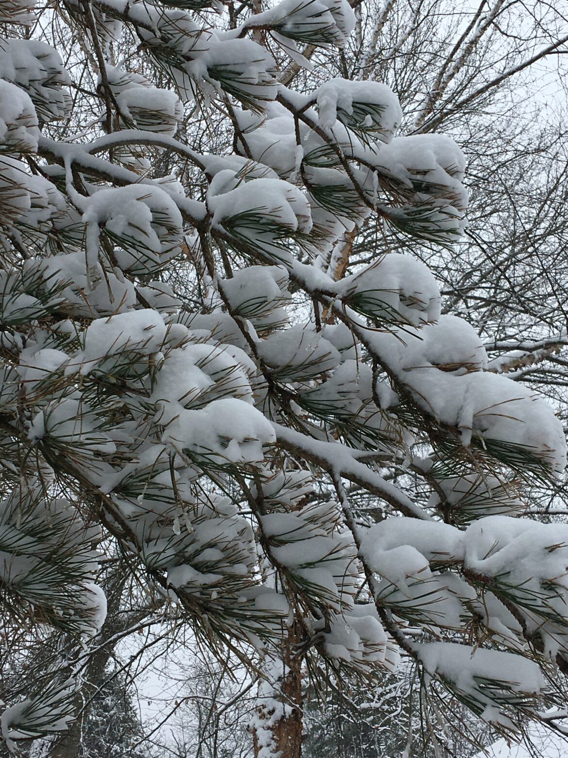
2010: Light snow all day long, the first wintry day so far since spring. In the greenhouse, all the Christmas cacti are in full bloom.
2011: Cold in the low 20s and clear this morning, the pond frozen over for the first time (first snow two days ago), crows at 7:20 sharp. At the post office, Ed Oxley showed me a photo of one snowdrop flower blooming on his property north of town. Nick Boutis reported sandhill cranes this afternoon, about fifty of them “blaring out their gargling whistle.”
2012: When I turned on the light near the wood stove this morning, I saw three camel crickets on the brick wall. They have been encroaching more and more this autumn, haunting the cat box, getting caught in traps I have set for moths in the pantry. Crows at 7:48, a soft start to the day. I weeded a little near the trellis before I went to work, the ground moist and giving. In the east garden, crocus and snowdrop foliage is up half an inch. The new hyacinths I planted have started coming up in the north garden. Record warmth across the Southwest, more records expected in the Great Plains tomorrow, record rains in California.
2013: Crows at 7:25 this mild, cloudy morning, robins peeping, starlings whistling in the distance.
2015: Mild 50 degrees, haze, mare’s tails: Inventory after a mild November: Fish still rise for food; honeysuckle leaves pale and maybe two-thirds gone; forsythia leaves mostly down, remnants purple brown like the oakleaf hydrangea’s; foliage returning: creeping Charley, garlic mustard, chickweed, bittercress, waterleaf, a few lily sprouts, dock, henbit, celandine, spiderwort; rose leaves deep violet green; lush Shasta daisy leaves; buds on the tips of the Endless Summer hydrangea; the small daisies that I planted from seed late in the summer still have a few flowers.
2016: At the Indian Mound, bright hepatica foliage uncovered as Jeff and I walked through the groundcover of fallen maple leaves. In Jill’s side yard, the last red leaves of her burning bush and Japanese maple came down.
2018: Hard rain and mild today, barometer quite low, near 29.50. Neysa sent a photograph of the first major leafturn in the hills around Fontanelli in Italy.
2019: Sunny and mild today, sky robin’s egg blue. Cardinal before dawn. Robins peeping throughout the neighborhood all morning. The remaining honeysuckle foliage glows yellow-green, and the day feels like spring.
2020: Flurries early after yesterday’s three inch snowfall. Wind and cold 20s throughout the day, bamboo leaning hard from the wet snow, a wave of late honeysuckle berries dropping to the sidewalk. Full moon on the 30th brought an end to this November’s mild run.
Shadows on snow look blue. The skier,
Exultant at the summit, sees his poles
elongate toward the valley: thus
each blade of grass projects another
opposite the sun, and in marshes
the mesh is infinite….
John Updike, from “Penumbrae”